Main navigation

  • Home
  • About
  • Sample Maps
  • Data Sources
  • Acknowledgements

User account menu

  • Log in
Home
CROSPLAN

Register for an account

Click the button to register for a new account on this platform:  Register

Create Crossing Plans

CROSPLAN can jump-start your wildlife crossing project by clipping a set of valuable data, including WVC data from California Roadkill Observation System (CROS).

Build Crossing Structures

Drop a point on a map where a structure will be created to retrieve a species list. For a select species, CROSPLAN will provide the likelihood of the species using the structure, based on its dimensions and construction material.

Interactive Maps

View your crossing plan regions and structure locations on an interactive map, with several base layers.


About this Website

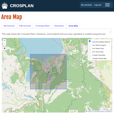
The purpose of CROSPLAN is to support wildlife and wildlife crossing projects. The tool gives transportation planners a way to jump-start their project by providing a set of core data they need to make decisions during the project, and ultimately help them design and build wildlife crossing structures and fencing. Is CROSPLAN for you?
  • Read more about About this Website
Version 0.2.1 Beta -- list of changes by version

Copyright © 2025 CROSPLAN - All rights reserved